
I thought this might be interesting – satellite / bird’s eye views of the Silver Comet that are approximately where I took the previous pictures. You can click through to explore the bird’s eye view (which is really cool).
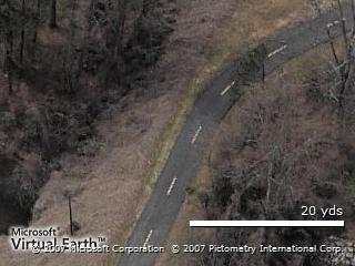
Here’s the approach to Old Lost Mountain Road.
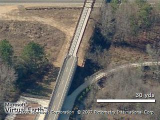
The bridge crossing Richard D. Sailors Parkway. The spurs off of the trail connect to the Wild Horse Creek Park trail system.
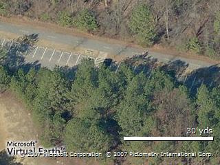
The parking lot / shelter at Florence Road. We usually stop here for the midpoint and let the kids run around in the play area.

The parking area just after the first Wild Horse Creek Park trail spur. You can click through to the map, go east and then north to follow the concrete path up to the Park.
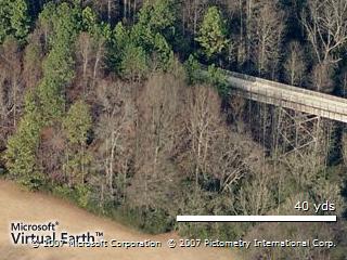
The wooded area and bridge crossing over Dogwood Golf Club
Here’s the starting point at Floyd Road. The building there is the Silver Comet Depot, a cycle shop.

